


![Does the Nintendo Switch 2 not even reach Steam Deck's performance? [VIDEO]](https://thegeek.hu/wp-content/uploads/sites/2/2023/06/thegeek-nintendo-switch-2-unofficial.jpg)


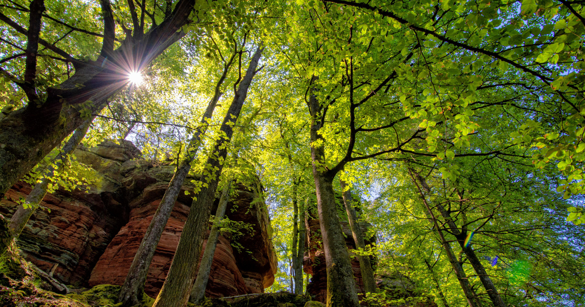
The map shows that trees over 30 meters tall grow on only five percent of the Earth’s land area. The world map The Zurich scientists noted that the knowledge it provides is also useful for climate and nature conservation, as the height of trees is an important indicator of the amount of biomass and carbon stored.
The 10 x 10 meter resolution map is based on 2020 satellite imagery. To create the world map, the researchers tutored their model based on laser measurements from NASA’s GEDI (Global Ecosystem Dynamics) mission, which provides elevation data between 51 north and south latitude, They combined this information with two European Space Agency (ESA) Copernicus Sentinels with recordings from two satellites.
During training, the neural network learned to automatically estimate the height of trees from hundreds of thousands of satellite images from all over the Earth.
The new approach provides an interesting starting point for researchers, governments, administrations, and NGOs.
Thanks to the Sentinel-2 satellites, we can recalculate the height of vegetation every five days, so we can have a monitoring system that also monitors rainforest destruction.
Explained by Nico Lang, who developed the method in his doctoral thesis, which he has now presented in an unreviewed study.
The researchers say the new method could do a good job of protecting forests and helping with climate modeling or biodiversity research, MTI writes.
(Cover Photo: Borjomi-Kharagauli National Park, Georgia – Getty Images / Andrea Pistolesi)